from bonfire to where i am today
the adigitata journey
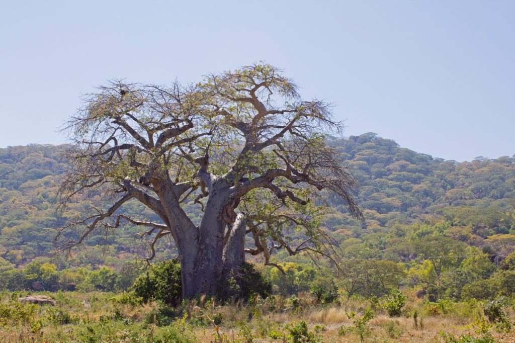
The African Baobab, Adansonia digitata
If there is one tree that resembles Africa for me, it is the African baobab. Visible from across the plains with a canopy so wide it can seemingly provide shade for everyone around; this tree plays a crucial role for both animals and people. The scientific name of the baobab is Adansonia digitata or A.digitata in short. That name for me connects how I got to where I am today and what I tend to keep doing going forward.
The Adigitata journey itself started many years ago around a campfire in the midst of the African bush
Applying technology
has been part of what I do since studying caterpillars in Mexico in 2009 and doing vegetation studies is the Greater Kruger in South Africa in 2011. In both occasions I was tasked to enter huge amounts of data manually and although I did not have a problem with that at all I ended up doing it at night as I was in the bush from sunrise till sundown most of the days. Back then it already struck me that we were using a pencil and paper to write it all up and that I was re-doing all that work in the evening again behind my laptop.
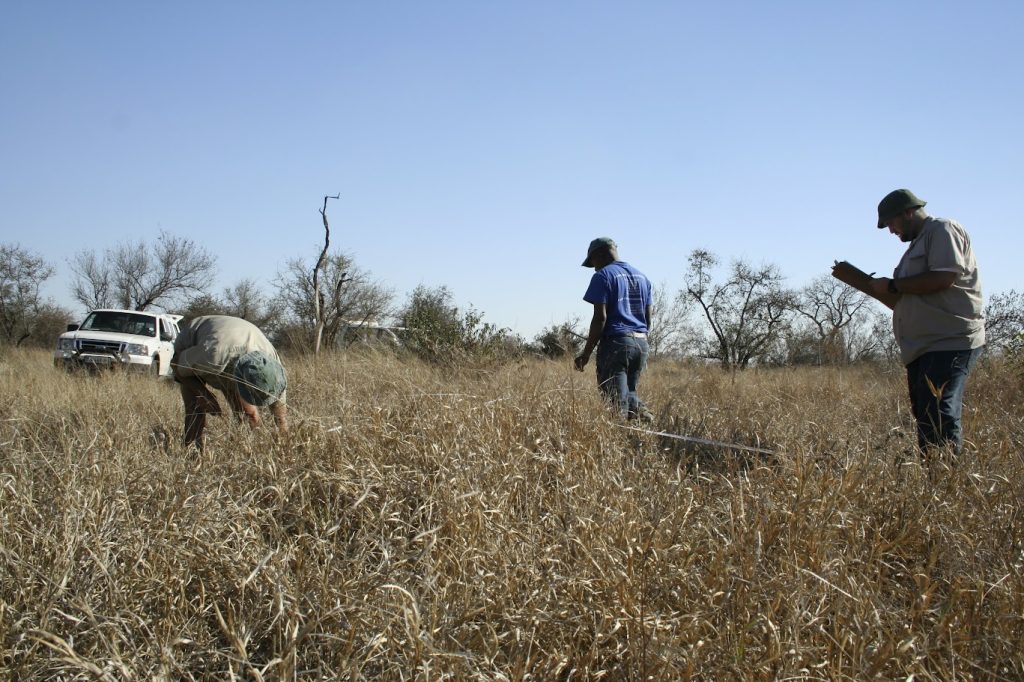
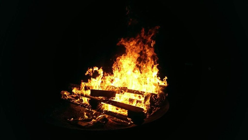
I remember sitting at a campfire
with one of my South African friends thinking that it must be possible to collect data through phones soon as that was all developing so rapidly. Fast forward to 2015, when I was asked to build a SMART instance for African Parks. Only 4 years down the line of that original campfire conversation and one could now build a smartphone application with opensource tools without programming knowledge. I remember thinking that digital data collection had now truly began and was going to transform conservation.
During my time at the IUCN
in Rwanda the focus was mostly on the geospatial side of conservation technology. By applying mapping and monitoring tools through Esri mapping software the prioritisation of landscape restoration became a lot more straightforward.
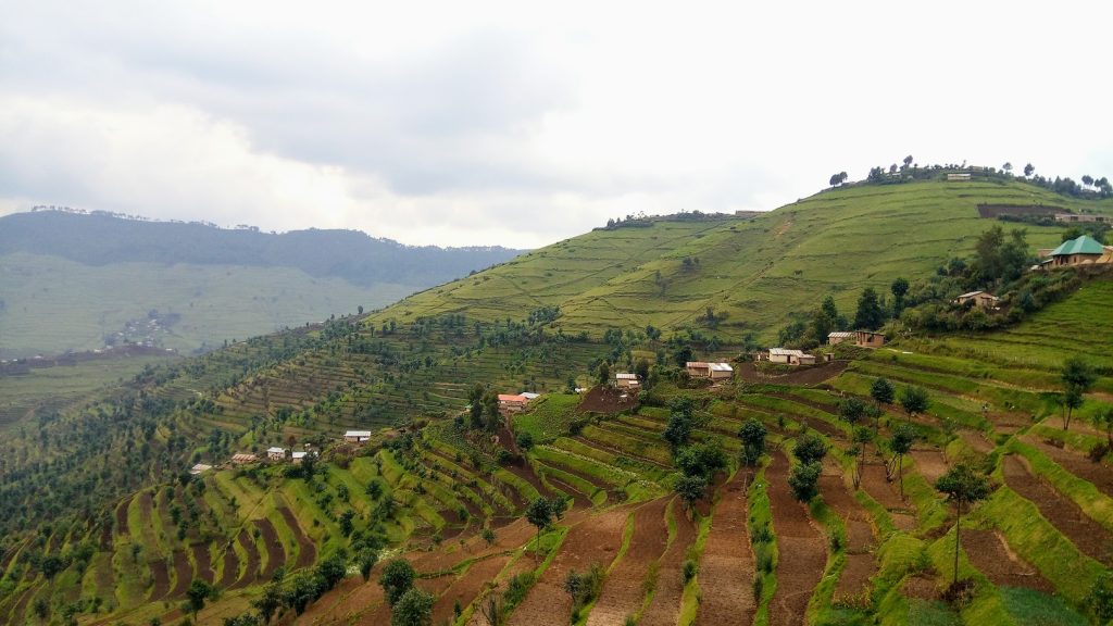
When I started in Akagera NP
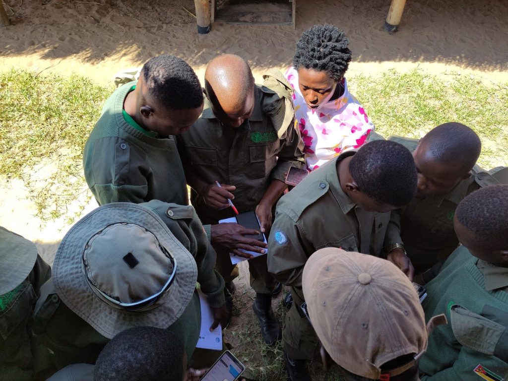
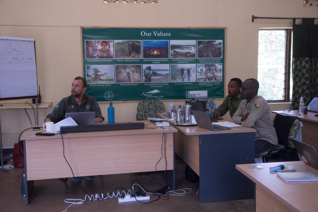
in early 2018, the Domain Awareness System had just been going for a bit over a year. The elephant collars were still truck icons on their own tracking platform, the lions were still sitting in their respective portal, LoRa trackers were only visible in the LoRa visualization software and DAS was used for some reporting and the integrated radio system. For me, it felt like I just happened to be there at the right time to grow with the field of applied conservation technology and I became part of a very steep learning curve. I was given the opportunity to make the field of conservation technology mine and I found my place in conservation. Within a year, Akagera moved away from paper reporting completely and I created a Cybertracker application together with the Akagera ranger team. There was no phone network in Akagera back then and I went out to all ranger posts for 2 days a month to understand what data the rangers wanted to collect and to show them what part of the park they covered in the previous month. The rangers were an integral part of the application development and that, together with a direct feedback loop, ensured a sustainable future for digital data capturing in Akagera.
Over those first two years in Akagera
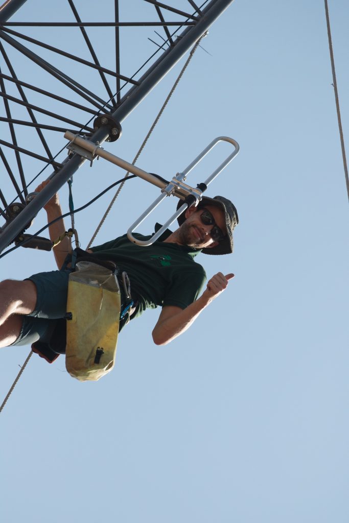
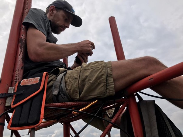
I truly became part of applied conservation technology. Whether we worked on LoRa, radio, power, tracking, control rooms, data capturing, data visualisation, EarthRanger or other hardware, tools, or applications, I was given the time to experience it all and figure out what combination of technology would work best for park management.
After my departure from Akagera
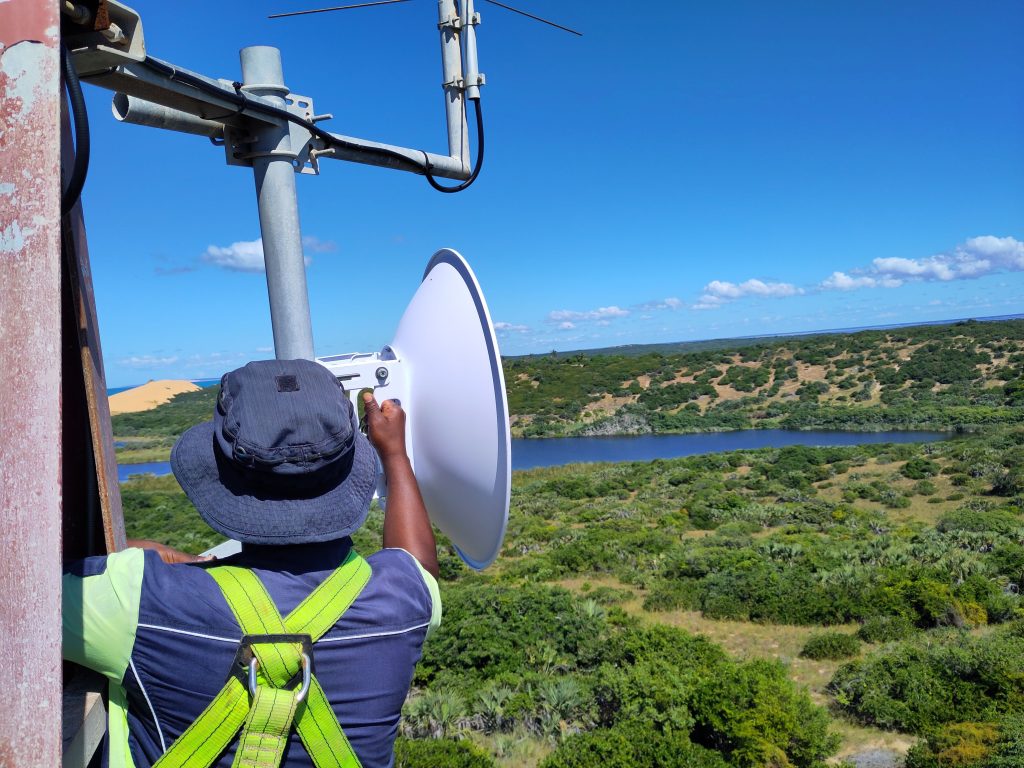
back in 2020 I was able to continue with conservation technology and try and do what I did for the entire African Parks portfolio. As a team, we came a long way and I am really proud of what we accomplished together with our colleagues in the parks. By the end of 2025, African Park’s conservation technology hardware (solar power, backbone, radio communication, LoRa) was completely standardized and maintenance knowledge transferred to park technicians who take care of their systems daily. On top of that, we worked on data capturing tools, situational awareness- and data-based decision-making tools that have completely changed how park management operates. For me, the circle was round in terms of African Parks and I was ready to find out if I can help more organisations in the field of conservation technology.
technology itself will never replace colleagues in the field
but it can help tremendously in keeping them safe and making field operations and conservation more efficient and effective, especially when combining and integrating technology into visualisation and decision-making tools. I think that we are still at the beginning of what conservation technology is going to do and there still is so much more we can do to further integrate technology into conservation.
Through Adigitata
I hope to enable people to work with conservation technology and to make conservation technology work for them. I would like to do so through connecting, supporting and enabling people, organisations, parks and places through (applied) conservation technology for the greater good of the conservation of our natural world.